top of page


SERVICES

Airborne Magnetic Surveys
Single component and gradient magnetic systems with drone or helicopter for structural mapping, and mineral exploration.

Ground Gravity Surveys
Non-ground disturbing technique for detecting sub surface density variations.
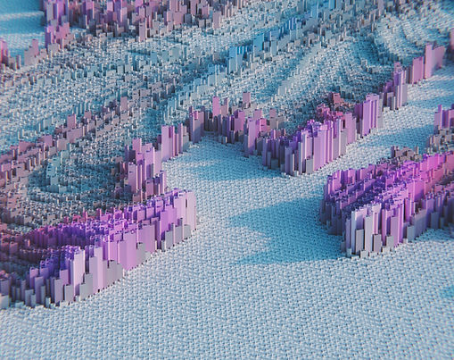
LiDAR Surveys
Advance remote sensing method to create highly accurate, 3D representations of the Earth's surface, structures, and vegetation.

Radiometric Surveys
Single spectrometer pack for gamma-ray radiometric mapping (U, TH, and K).
VLF Surveys
Very Low-Frequency (VLF) Electromagnetic Method (EM) survey for mineral exploration.
bottom of page